ABOUT
International Photographer Road Maps
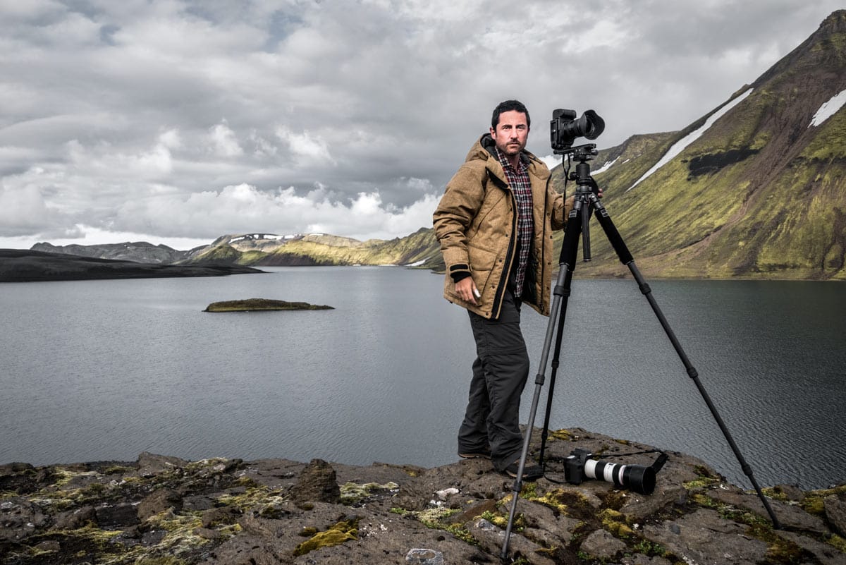
Michaël LEVY was born in Toulouse. He now lives in Paris where he teaches Graphic Design and Photography.
+ He spent the first years of his life in a small village in the Lot region of southwest France, not far from the town of Cahors, then moved to a village 50 kilometers (30 miles) south of Toulouse at the age of ten.
+ Drawn to the arts from a young age, he started playing the violin aged five, followed by the piano, and the guitar, before turning his hand to drawing; he bought himself his first camera when he was 20 (a Minolta X 700 with a 50 mm f/1.7 lens).
+ This marked a turning point in Michaël’s life. He spent his days shooting roll after roll of Kodak film (T-MAX and TRI-X) and his nights making enlargements in his bathroom/darkroom.
+ In 1998, he enrolled at a graphic design school to perfect his skills.
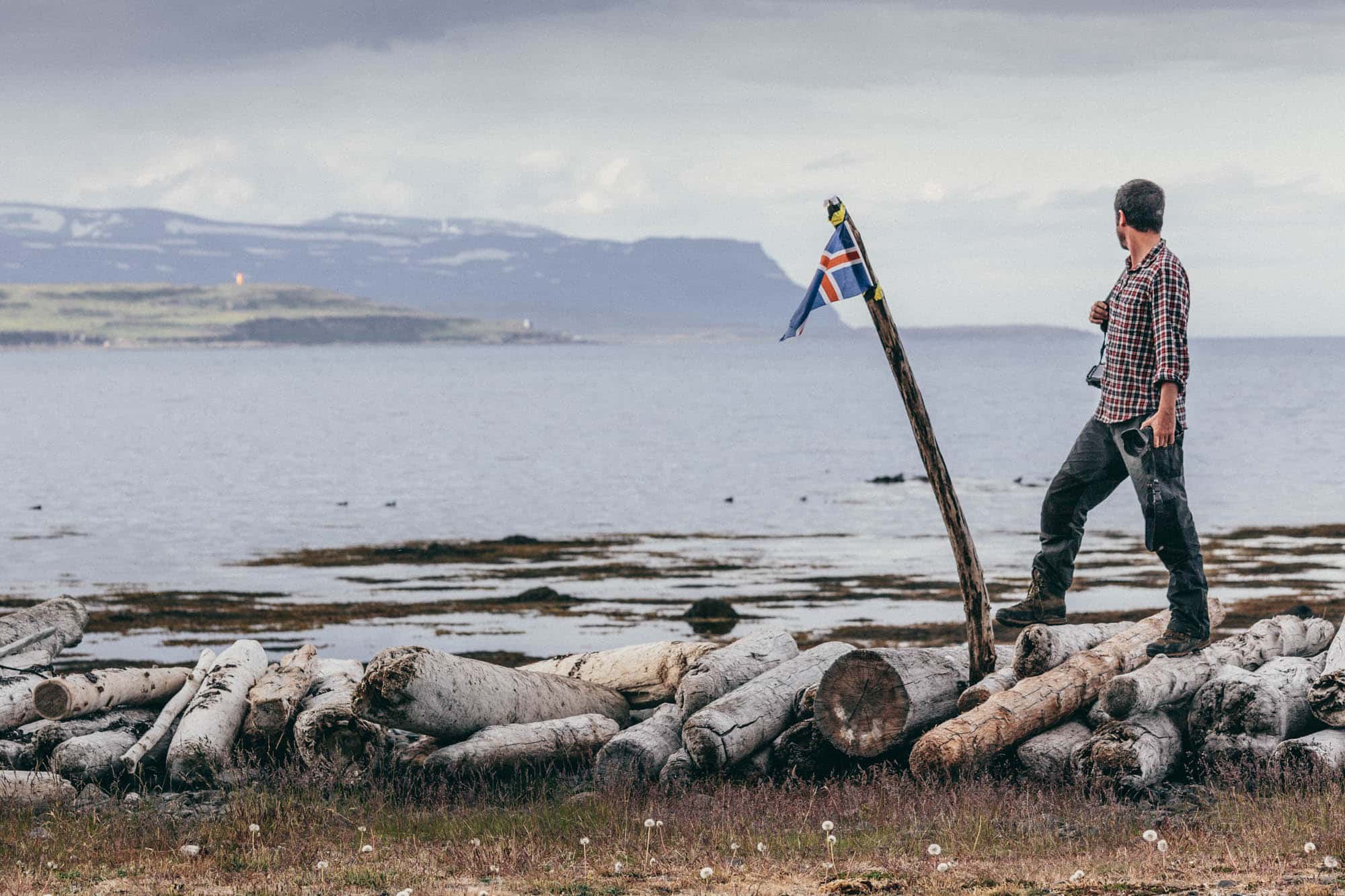
+ In 2008, he undertook his first PHOTOGRAPHIC ROADTRIP, to the United States.
+ Following numerous requests and questions from a wide variety of readers, Michaël decided to create a series of tools for travelers/photographers.
+ Two guides appeared in 2010 and 2011: SOUTHWEST eROADBOOK, and ICELAND eROADBOOK.
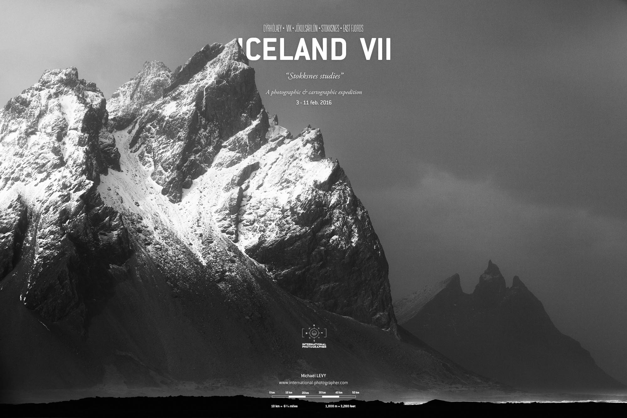
+ In 2012, Michaël LEVY registered the trademark INTERNATIONAL PHOTOGRAPHER and published the very first geographical map for travel photographers: Map of ICELAND V1 (Sold out).
+ In 2013 ICELAND V2 (Sold out) is published on waterproof paper.
+ In 2014 ICELAND V3 (Last copies) is published, Best-Seller with more than 9000 maps sold.
+ In 2018: New website, Map of the FAROE ISLANDS V1 + eROADBOOK + DIGITAL ATLAS
+ In 2020: Map of ICELAND V4 (Sold out) is published with 3D Relief (SOLD OUT)
+ In 2021: Map of OUESSANT V1 (Brittany) is published, first map of a french territory.
+ In 2022: Map of ICELAND V5 is published.
+ In 2023: Map of LOFOTEN V1 is published.
+ In 2025: Map of SENJA V1 will be published.

